Discovery Call with Kumar Ranjan
Kumar Ranjan

Discovery Call
About this session
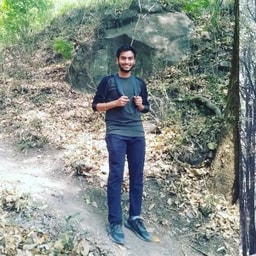
Currently serving as a Programme Officer at WWF - India, I excel in creating GIS maps, geodatabase management, and developing methodologies for conservation-focused projects. My in-depth knowledge spans diverse areas such as forest fire analysis, carbon sequestration, disaster management, and wildlife sanctuaries delineation. I have contributed to research papers and been selected as a reviewer for international workshops. Proficient in ArcGIS, ERDAS Imagine, QGIS, InVEST, Maxent, Fragstate, Modelling and more, I'm committed to providing accurate and insightful results. If you seek professional support, consultation, or project collaboration in GIS and Remote Sensing, feel free to reach out to me for quality assistance that drives meaningful impact.